Devil’s Elbow Reserve to Grassy Park
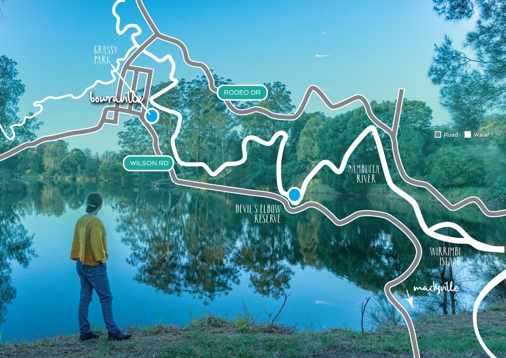
UPSTREAM TO GRASSY PARK, BOWRAVILLE
4KM ONE WAY
A medium-length paddle is upstream to Grassy Park, the Nambucca River’s western tidal limit. A few kilometres upstream, the river gradually narrows and becomes densely surrounded by trees, giving you the feeling of being in complete wilderness. As you near Grassy Park, the river can become shallow in sections, so keep an eye out for unmarked shoals and snags.
GRASSY PARK LAUNCH POINT
-30°38’56.5”S 152°51’27.6”E
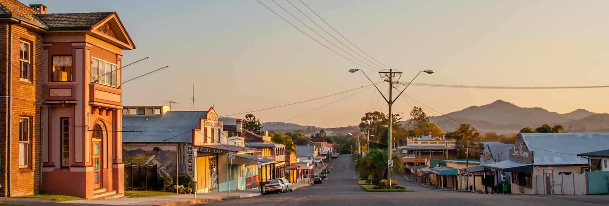
Grassy Park is located at Bowraville off Park Street on the southern side of the Nambucca River.
DEVIL’S ELBOW RESERVE TO WIRRIMBI ISLAND
4KM ONE WAY
This is a quiet stretch of the Nambucca River bordered by tall gum trees, she-oaks and home to numerous bird species. A popular paddle route is travelling four kilometres downstream to Wirrimbi Island. Once an Aboriginal mission, the island is a place of cultural significance for the Gumbaynggirr people. You can turn back and paddle to Devil’s Elbow Reserve or you can go for a further five kilometres downstream to Macksville
DEVIL’S ELBOW RESERVE LAUNCH POINT
-30°39’55.5”S 152°53’03.5”E
Access Devil’s Elbow Reserve boatramp located approximately seven km west of Macksville toward Bowraville, adjacent to Wilson Road. Please note that access to Devil’s Elbow Reserve is tight, please enter when driving east only.
Extracted from Nambucca Valley Tourism